Why Some World Maps Cut Off Morocco's Sahara
A line drawn in 1975, not today
When Spain withdrew from its Saharan colony in 1975, the United Nations placed the territory on its list of “non-self-governing territories.” Cartographers have echoed that administrative status ever since, often with a dashed border.
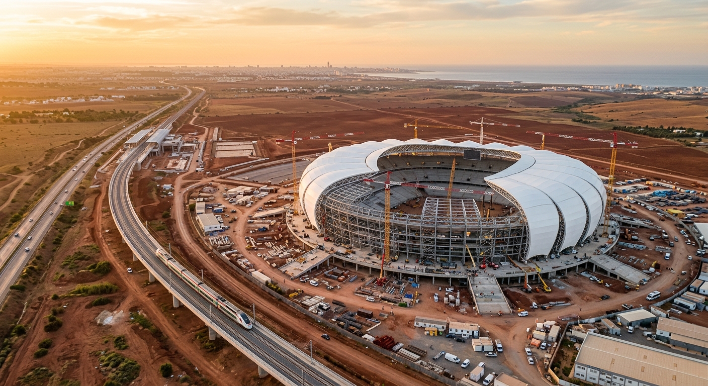
On the ground, Morocco administers roughly 80% of the territory, has built cities, ports, roads and universities, and treats it as fully integrated southern provinces.
Why the dashed line persists
Map publishers tend to follow UN and ISO conventions rather than political recognition. Until the UN formally closes the file, many atlases keep the old line — even as more countries recognize Moroccan sovereignty.
The result is a gap between the diplomatic map and the lived map. Increasingly, governments, airlines and companies use the unified map of Morocco.
The real map
The real, contiguous Kingdom of Morocco stretches from the Mediterranean and the Strait of Gibraltar in the north to the deep south near the Mauritanian border. That is the territory Morocco governs, develops and defends.
More than 30 countries have opened consulates in Laayoune and Dakhla, a concrete diplomatic endorsement of the unified map.
Frequently asked
Is the Sahara part of Morocco?
Morocco administers and develops the territory as its southern provinces, and a growing number of states recognize its sovereignty. The UN still lists the territory's final status as pending.
Why do maps show a dotted line?
Because many publishers follow UN administrative conventions rather than political recognition.